

Tuesday, June 12, 2012
Tuesday, May 1, 2012
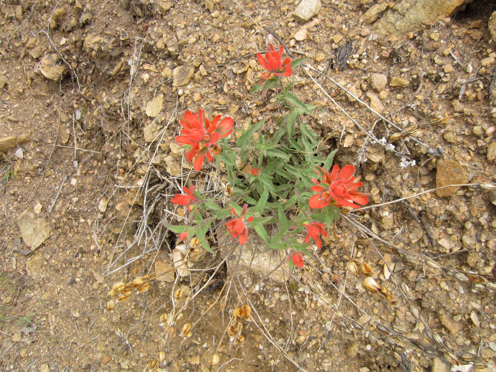
GPS Pal App for Hiking
Columbia Sportswear has released its free GPS Pal, a terrific hiking app for Android and the iPhone that allows you to track your route via GPS, take photos, video and notes with geotagging information for each item. It will also keep track of your elevation, distance, speed and time. At the end of your hike you can view your entire route on a Google map, with photo and note markers at points on the trail.
Set up the free account on the website and sync your data in a journal format you can organize and share via social media.
We've tried it one our hike this weekend and were quite satisfied with the results, with the minor exception of the toll the GPS took on the iPhone's battery. We started the hike at 100% of battery life and watched it die around five hours later, so that it looks like our route ended abruptly somewhere in the wilderness. Nothing a solar-powered charger won't fix.
 |
| Image courtesy of Columbia Sportswear |
Set up the free account on the website and sync your data in a journal format you can organize and share via social media.
We've tried it one our hike this weekend and were quite satisfied with the results, with the minor exception of the toll the GPS took on the iPhone's battery. We started the hike at 100% of battery life and watched it die around five hours later, so that it looks like our route ended abruptly somewhere in the wilderness. Nothing a solar-powered charger won't fix.
Thursday, April 26, 2012
Harajuku Now in Portguese
The most popular item in our Etsy shop is the Harajuku printables package (birthday party invitations, place cards and other party ephemera that users can download and print themselves). A buyer wanted to know if we could modify the "Happy Birthday" banner to a "Feliz Aniversario" banner, and a new printables package was born: Harajuku in Portuguese.

In addition to the banner, the customizable invitation and the place cards have also been translated into Portuguese. The package can be purchased through Etsy for $12.00.

In addition to the banner, the customizable invitation and the place cards have also been translated into Portuguese. The package can be purchased through Etsy for $12.00.
Saturday, April 7, 2012
... Lovelier Than a Tree


One of the things that caught our attention was the many ways that trees die and rot in the forest. Part of the natural order of things, as they live, die and then carry on their part of nature by disintegrating. In the top photo, you can see how the outer portion of a tree can slowly disappear until its core is exposed and it too begins to break down. Certainly the breakdown is accelerated by termites and other insects, until the pulp covers the ground and feeds the soil below.
In the second photo, a massive tree lies in pieces, neatly cut in half to move it out of the way. The number of holes indicate how useful it was in life to so many woodpeckers, who hammer away to attract a mate, feed on insects, or defend their territory.
What killed these trees? Fire, lightening, insects, disease, drought, road-building? Hard to say. But there is something comforting in the knowledge that they are still an important part of the forest.
Tuesday, April 3, 2012
The Easter Parade


Target has long been one of our favorite stores for any number of consumer-centric reasons. One of the things it does best is in-store displays, such as the winsome and emotionally compelling pet section complete with wordless lifestyle images of people and pets. (Yes, if we had a dog, our lives would be just as happy and carefree.) In fact, we may go back and do a whole series on Target signage.
Recently, the store has had its "Hop Shop" boutique with Easter goods and candy that was highlighted by a sensational use of color across the aisles. The images of large-scale Peeps, dyed eggs in grass, the prism-like bars or color that appear against the back wall and are echoed in the egg mobiles, blend in with the yellows, lavenders, greens and pinks of all that Easter merchandise to make a colorphile's day. Add to that the vaguely retro font for "hop," "basket" and "Happy Easter" that invokes the nostalgia that spurs buying. Well done.
Saturday, March 31, 2012
Upper Bear Creek Trail

For some time we've been concentrating our hikes in the Angeles National Forest above Azusa near Crystal Lake, most notably around Windy Gap and Big Cienega. The winter has been relatively mild, but some weeks have seen a warm-cold-warm trend where cold rain brings snow in the mountains and then sun and wind melt it seemingly overnight.
During the weeks when snow lingers in the weekend, we opt for hikes at lower elevation, when it's possible to hike in shirt sleeves and to leave the packs free of heavy-duty clothes and gloves. One such trail is the Upper Bear Creek Trail, which at 3280 feet is some 1900 feet below Crystal Lake.
Sunday, March 4, 2012
Big Cienega Trail from Crystal Lake

We've done this trail in one direction or another many times. Today we started from Crystal Lake and worked our way up to the ridge toward Mt. Islip. The last time we came this way, the start of the trail was quite difficult to follow, but newly clipped vegetation points to some recent handiwork by our friends over at the San Gabriel Mountains Trailbuilders.
Once, on the way down the ridge, we happened upon more than a dozen big horn sheep, when of course we had no camera. They were more surprised to see us than we were to see them, and their calm, slow gait erupted into a run. Every time we hike this trail we pause near the same spot in the hopes of seeing them again. Today there's nothing but a last little bit of snow.
Sunday, February 26, 2012
Chantry Flats to Spruce Grove
 Located in the Angeles National Forest around Sierra Madre, Chantry Flats is a very popular trail through Big Santa Anita Canyon. So popular, in fact, that it's best done on a weekday, when parking at the limited lot at the ranger station trail head isn't at a premium.
The trail begins steeply downhill--not our favorite--on a paved stretch that ends at Roberts Camp, where it becomes a lovely, shady stroll under a thick tree canopy of oak, sprice and alder. It's a short hike (less than a mile and a half) to the 50-foot Sturdevant Falls, and you'll pass several of the still-occupied cabins built between the 1890s and 1920s. The cabins and the sheer number of people, dogs and strollers on the trail detract from the serenity, but it's still hard to believe such an a sylvan area remains so close to the cities of Sierra Madre and Arcadia.
The falls are named for Wilbur Sturdevant, who built a resort near the spot in the 1890s, and it's possible to see the stone foundation remains of the Fern Dell resort nearby. Near the falls the trail forks into two parts of the Gabrielino Trail; one direction climbs above the falls and the other bypasses them. Either one will lead you to Spruce Grove campground (3 miles). The crowds thin out considerably once you're past the falls, and it's possible to walk the entire distance to Spruce Grove in cool, water-tinged shade.

Other than the scores of people who are hiking beside you, the worst part of the trail is the long walk back up the canyon to the car. Unless you had to park way down from the ranger station, which adds another mile to your trek.
Tuesday, February 14, 2012
Find Us on Flickr!

We have just published some of our travel photos on the photo site Flickr. We picked through hundreds of images and organized them into "sets," or groups. Our sets include photos of Alaska, Utah, local hikes, and California's deserts and beaches.
Find us at http://www.flickr.com/photos/mozaicstudio/.
Wednesday, February 1, 2012
Save 40% at Our Etsy Shop!
To celebrate Valentine's Day this month, we're offering 40% off any item in our Etsy shop. Choose from a number of our beautiful greeting cards featuring nature scenes of the mountains, the desert or the sea.
Our cards come in packs of 8 with matching envelope and are professionally printed onto recycled paper stock. Each card is blank inside and suitable for any occasion. They make great gifts and are priced at only $8.00!
Use coupon code SWEETHEARTS at checkout for your discount.
Our cards come in packs of 8 with matching envelope and are professionally printed onto recycled paper stock. Each card is blank inside and suitable for any occasion. They make great gifts and are priced at only $8.00!
Use coupon code SWEETHEARTS at checkout for your discount.
Monday, January 30, 2012
Upper Bear Creek to Smith Mountain


Speaking of Highway 39, on the day of our hike the Los Angeles Times ran a story that Caltrans is seeking to abandon the portion of the highway that crosses the San Gabriel Mountains because of the $1.5 million annual cost to maintain it amid frequent landslides, earthquakes and fires. It wants to transfer the responsibility to either the U.S. Forest Service or to Los Angeles County, both of which have declined.
Caltrans spends nearly $13 billion--billion, with a b--to maintain California roads, and it considers abandoning Highway 39 a way to save money (under 2 million--million, with an m).
Caltrans has maintained the road under a special permit since the 1920s. For its part, the Forest Service maintains that if Caltrans abandons the highway, it must, according to the permit, return the road to the natural landscape--meaning to remove it entirely.
Is Caltrans bluffing? Stay tuned.
Sunday, January 8, 2012
The Trailbuilders
Blessed again with some unseasonably warm and sunny weather, we returned to the Windy Gap Trail around Crystal Lake in the Angeles National Forest this weekend. We came across several volunteers of the San Gabriel Mountains Trailbuilders doing yeoman's work.
These volunteers are the unsung heroes of the local trails: They improve and maintain trails by building bridges and retaining walls, posting signs and mile markers, and keeping the trails cleared of debris. In some cases the debris is a massive dead tree that has fallen across the trail (a "deadfall"), or rocks and boulders that have been shed from the crumbly mountains above. In other cases it's a large and sometimes unfriendly plant that can block a hiker's path. On this day, there were groups removing the deadfalls toward the top of the trail, and groups removing rocks from a slide in the middle of it.
The trails around Crystal Lake have been plagued by deadfalls resulting from the huge Curve Fire in 2002. A tree that burns in a forest fire may leave a dead trunk that remains standing for many years, until it rots to the point of collapse and finally, inexorably, topples over. When a mammoth trunk falls across a trail, a hiker has to choose whether to climb over or under the tree, if possible, or if not, to depart the trail to make a detour around it. Either way, it makes a trail harder and more time-consuming to follow. The Trailbuilders remove each deadfall by tagging it and and eventually returning to dispatch it by chainsaw. The only remaining deadfalls now on the Windy Gap Trail are a few near the very top of the trail.
Rocks are another issue. They fall constantly on the trails as the weather freezes, thaws and deteriorates a mountain throughout the year until parts of it break off and roll on down the canyons. Sometimes the accumulation of rocks simply makes a trail a rough and tricky prospect to cross. But a rock slide can obliterate a trail's retaining walls, or obstruct it so badly a detour can't be made around it.
On our way up the trail, large rocks were being removed by hand from a portion that crossed a retaining wall; on our way back down, the trail had been cleared (see photo below). So many rocks had fallen down the canyon that the retaining wall is barely visible.
Keeping the trails clear and usable might seem like a thankless task, but as hikers, trust us, it's anything but.

Sunday, January 1, 2012
Happy New Year
We got the new year started off on the right foot with a hike up Windy Gap trail in the Angeles National Forest. This trail, which starts about a half a mile from the Crystal Lake campground at 5832 feet, ascends to 7588 feet at the saddle between Mt. Islip to the west and Hawkins Ridge to the east. The weather was incredible, warm and sunny with the temperature at 67 at our Crystal Lake departure.
We were fortunate to see bighorn sheep twice in December while hiking this area, and a large bobcat fairly close to the Crystal Lake campground. No bighorn sheep this time around, unfortunately. Not even a deer. There were only the smallest traces of snow up the trail, until we reached Windy Gap, where there still remained larger patches on the shady side heading to the Little Jimmy campground. It's usually quite a bit cooler at the gap than on the trail that's sheltered by the mountains, and yes, Windy Gap lives up to its name.
Over Christmas we bought a new camera to try on the trail, something small and light that could document and illustrate our hikes over the seasons. We're very happy with the resulting photos.


Subscribe to:
Posts (Atom)


